ENG38 3017 ทัศนศึกษาทางวิศวกรรมธรณี 2 หน่วยกิต
(Geological Engineering Excursion)
วิชาบังคับก่อน: ENG38 3016 กลศาสตร์ธรณีสิ่งแวดล้อม หรือเรียนควบคู่กัน และ ENG38 2011 ธรณีสัณฐานโครงสร้าง และ ENG38 2012 ปฏิบัติการธรณีสัณฐานโครงสร้าง
ทัศนศึกษาและการสังเกตการณ์โครงการทางวิศวกรรมธรณี หลักการและการประยุกต์ใช้เข็มทิศธรณีวิทยาและระบบ GPS ในการสำรวจทางวิศวกรรมธรณี การวิเคราะห์คุณสมบัติของมวลหินโดยใช้อุปกรณ์ทดสอบในภาคสนาม
Prerequisite: ENG38 3016 Environmental Geomechanics or study concurrently and ENG38 2011 Structural Geomorphology and ENG38 2012 Structural Geomorphology Laboratory
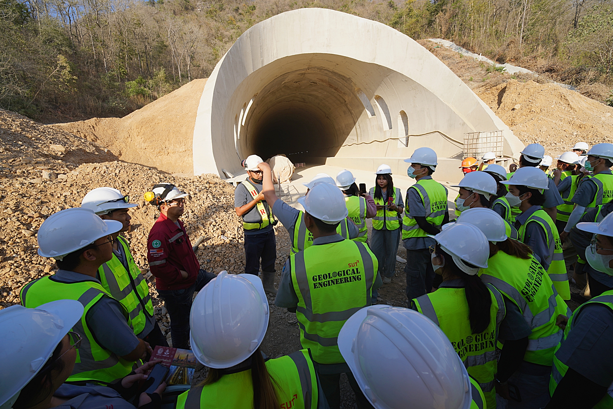
Field excursion and observation of geological engineering projects; principles and applications of geologic compass and GPS in geological engineering surveys; analysis of rock mass properties using in-situ testing equipment.
|
ผลสัมฤทธิ์การเรียนรู้ (Course Learning Outcomes, CLO) |
ดัชนีชี้วัดสมรรถนะ (PI) |
|
1. สามารถอภิปราย วิเคราะห์ และทำงานสำรวจทางวิศวกรรมธรณีเป็นกลุ่มได้ An ability to discuss, analyze and function effectively on a team in geological surveying |
5.1 |
|
2. สามารถยอมรับการมีส่วนร่วมของผู้ร่วมงานในทีมเติมเต็มสนับสนุนกันได้อย่างเหมาะสมทำให้ทีมบรรลุผลสำเร็จ Recognizes participant roles in a team setting of fulfills appropriate roles to assure team success in geological surveying |
5.2 |
|
3. สามารถวิเคราะห์และจำแนกคุณลักษณะคุณลักษณเชิงวิศวกรรมของมวลดินได้ Analyze and identify the engineering characteristic of soil |
6.3 |
|
4. สามารถวิเคราะห์และจำแนกคุณลักษณะคุณลักษณเชิงวิศวกรรมของมวลหินได้ Analyze and identify the engineering characteristic of rock mass |
6.3 |
|
5. สามารถประยุกต์ใช้เข็มทิศธรณีวิทยาและ GPS ในการสำรวจทางวิศวกรรมธรณีได้ Apply geologic compass and GPS in geological surveying |
6.1 |
|
6. สามารถวิเคราะห์คุณสมบัติและพฤติกรรมของมวลหินโดยใช้อุปกรณ์ทดสอบและทักษะในภาคสนามได้ Analyze the rock mass properties and behavior by using in-situ testing equipment |
6.3 |
- อาจารย์: ผศ. ดร.ปรัชญา เทพณรงค์