ENG38 2007 ปฏิบัติการธรณีสำรวจ 1(0-3-3)
(Geological Surveying Laboratory)
วิชาบังคับก่อน: ENG38 2006 ธรณีสำรวจ หรือเรียนควบคู่กัน
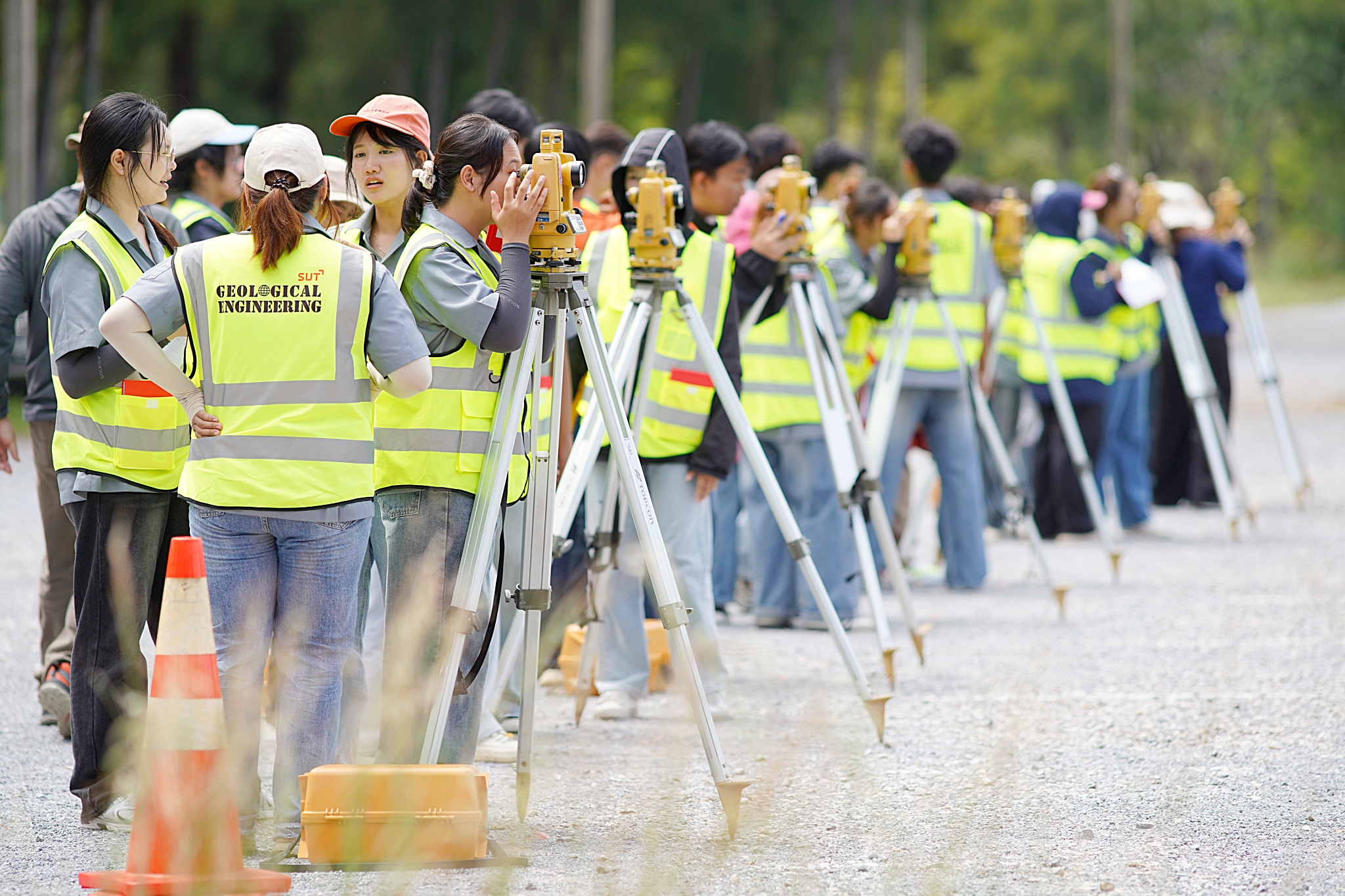
งานสำรวจและพื้นฐานการทำงานสำรวจทางวิศวกรรมธรณีในสนาม หลักการและการประยุกต์ใช้เข็มทิศธรณีและกล้องทีโอโดไลท์ การวัดระยะทางและทิศทาง ความคลาดเคลื่อนในการรังวัดและค่าความคลาดเคลื่อนที่ยอมรับได้ การปรับแก้งานรังวัดและการรังวัดอาซิมุทอย่างละเอียด การรังวัดวงรอบและระบบพิกัดระนาบอย่างละเอียด การรังวัดระดับอย่างละเอียด การสำรวจภูมิประเทศและการทำแผนที่พื้นที่
Prerequisite: ENG38 2006 Geological Surveying or study
Principles and basic practices of geological and geotechnical surveying; use and application of geologic compass and theodolite; distance and direction measurement; errors in surveying and acceptable limits; data correction and precise azimuth determination; precise traverse and plane coordinate systems; precise leveling;
topographic surveying and map plotting.
|
ผลสัมฤทธิ์การเรียนรู้ (Course Learning Outcomes, CLO) |
ดัชนีชี้วัดสมรรถนะ (PI) |
|
1. สามารถกำหนดเป้าหมายและวางแผนงานปฏิบัติการสำรวจทางวิศวกรรมธรณีเป็นได้ An ability to create a establish goals and plan tasks in geological surveying |
5.1 |
|
2. สามารถปฏิบัติงานสำรวจทางวิศวกรรมธรณีเป็นทีมได้ Recognizes participant roles in a team setting of fulfills appropriate roles tassure team success in geological surveying |
5.2 |
|
3. สามารถสรุปผลปฏิบัติการสำรวจทางวิศวกรรมธรณีเป็นได้ An ability to conclude geological surveying laboratory |
6.2 |
- อาจารย์: ผศ. ดร.ปรัชญา เทพณรงค์